
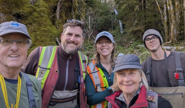
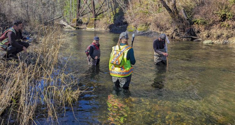
BWS volunteers had great fun suited up in their hip waders out in the Trent River. We were collaborating with Arin Yeomans-Routledge of Astraea Consulting to map the lower portion of the Trent River. Volunteers walked the creek, noting creek bed geology, riparian status, salmon access and obstructions, and general terrain. This information will be critical in understanding salmon access to spawning locations, and for interpreting the results of our surface water monitoring.
The Trent River is one of the major watersheds draining the eastern slopes of the Beaufort Range yet few people have been able to access its wonders. That is because the river is enclosed by steep canyon walls with very few access points. It is also a major fish spawning and rearing habitat.
In order to better understand the potential impact of climate change and human development in the watershed, a project to create a detailed map of the lower Trent River system was undertaken in
conjunction with Arin Yeomans-Routledge and Katie Schulze of Astraea Consulting and assistance of the K’ómox First Nation Guardians. Funding of this project has been provided in part by Pacific Salmon Foundation, Comox Valley Regional District and Beaufort Watershed Stewards.
Our volunteers, alongside the professionals, basically walked up the river in the stream-bed or on the banks, while noting specific areas of interest that were then tagged with GPS points. These included: inflows of tributaries, side channels, spawning habitats, areas of refuge for both spawners and young fry, wetlands, riparian vegetation and setbacks, blockages of flow, and sources of erosion or siltation.
Each day was physically challenging but very rewarding as we were able to explore the waterway and gain insight about how the river changes over time. Seeing the early spring vegetation and the moss
covered trees in the forest was really invigorating. Fording the rushing river on multiple occasions added some excitement and meeting new people was a bonus! Check back in the near future to see a map of the findings.
The report of this project is now published and accessible at this [LINK].