Category: <span>Maps</span>

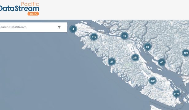
Our Web Maps are Live!

Click for: 3D Satellite Map or 2D BWS Sampling Map Over the past three months Jake Le Breton has been working to assemble a multitude of data, maps and images to create online interactive maps of the Beaufort Watersheds.  The maps have multiple layers and you can click to view …

BWS Stream Data is going National!

Beaufort Watershed Stewards will now be sharing their stream sampling data via Data Stream. This non-profit organization provides a portal for the public, researchers, all levels of government, and environmental organizations to have open access to national steam data. The Pacific Region will be the final portion of the country …